Who we serve
Locating, Mapping & Potholing for Engineers & Surveyors
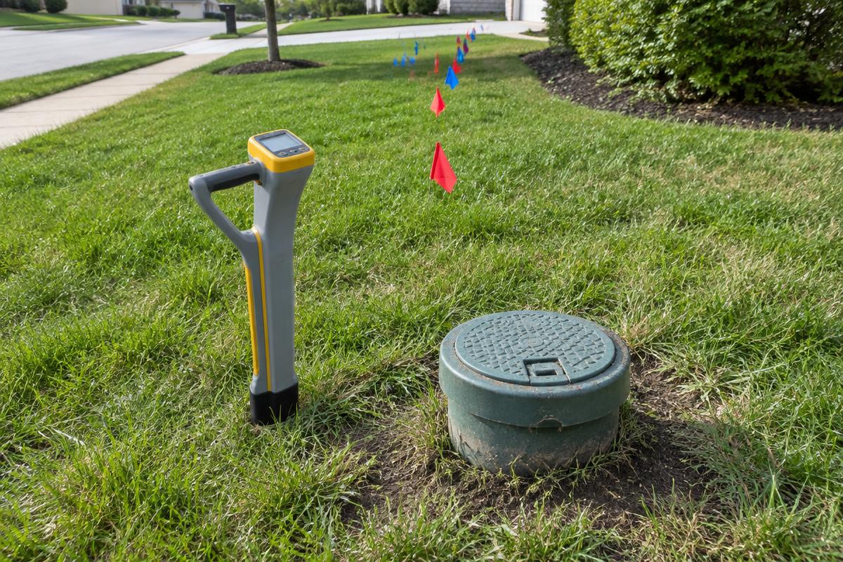
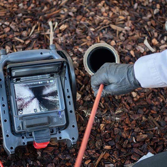
Design and as-built work depend on accurate underground information. We locate and map lines, verify depth with hydrovac potholing and document conditions on camera.
Problems we help with
- Unverified utility locations on plans
- Needing depth and location data for design
- Missing as-built information
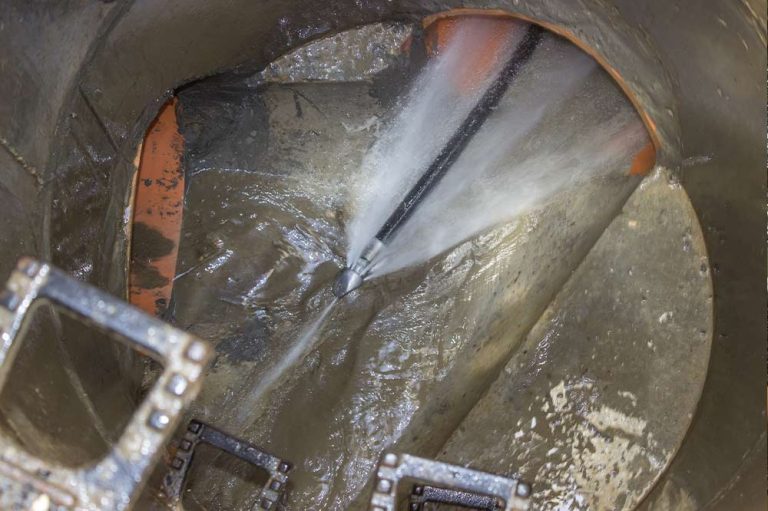
- Unknown sewer condition along a planned route
FAQ
Engineers & Surveyors: frequently asked questions
Can you verify utility depth for design?
Yes. Hydrovac potholing exposes selected points so location and depth can be measured.
Do you provide inspection video?
Yes. Camera inspection video documents the condition of accessible sewer lines.
What should I send with a request?
Send the site address, plans, target utilities and access constraints so we can scope the work.
Request a free quote
Other customers we serve
See the problem before you pay for a fix.
Call for a free quote — written quote before any work.